


Product Details
+
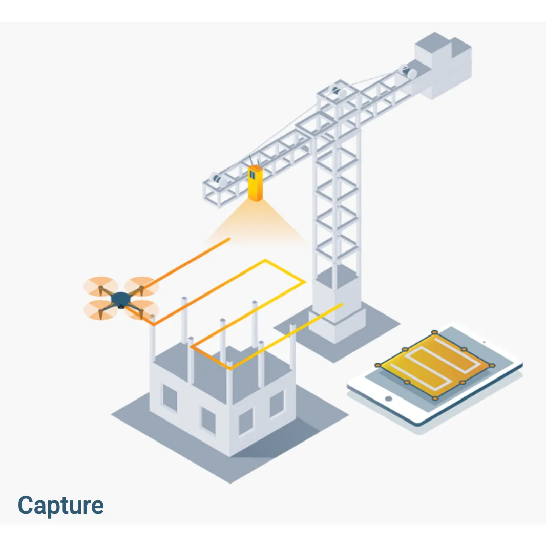
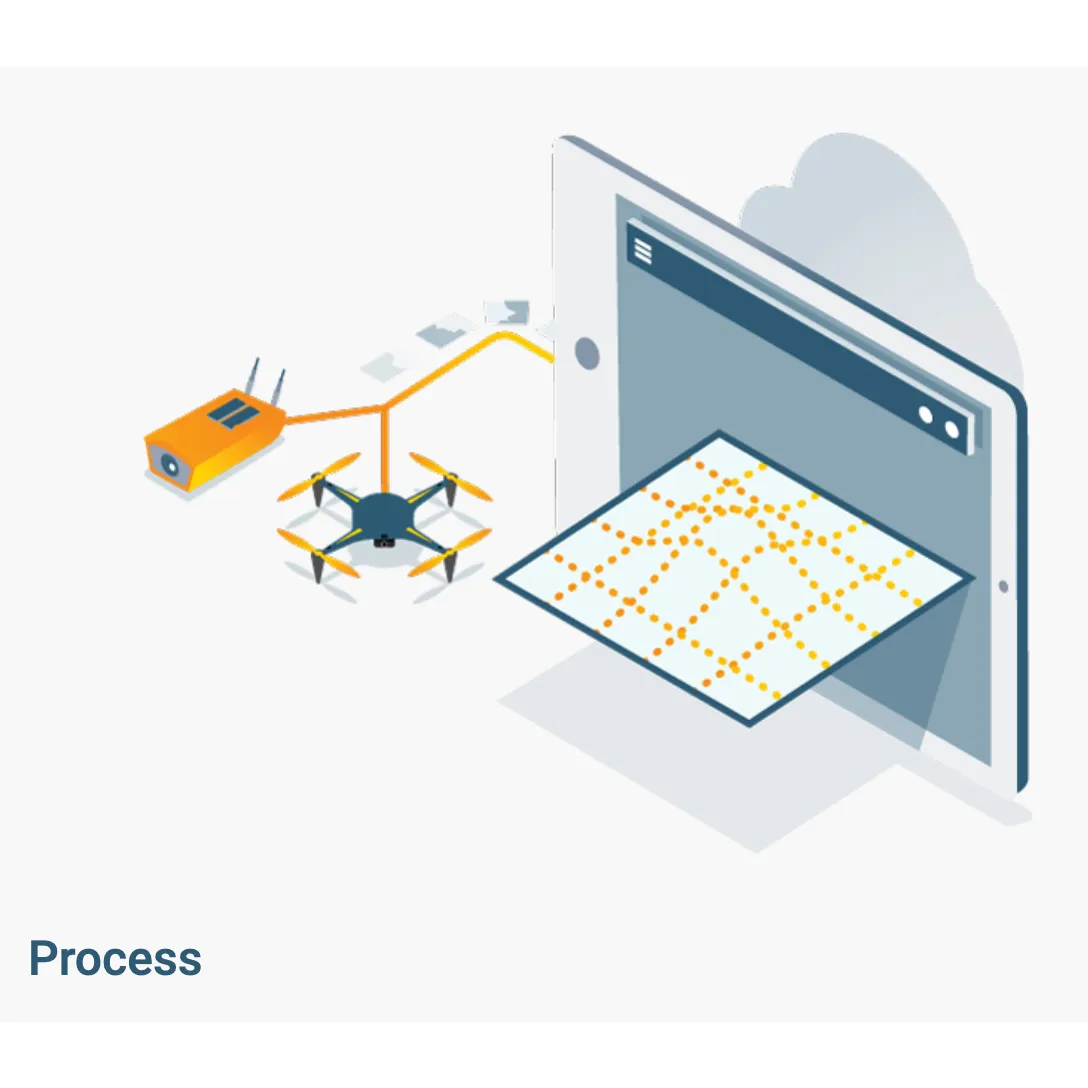
Pix4Dbim provides a powerful 3D modeling tool for construction. The software can process images from handheld camera, drones and the .
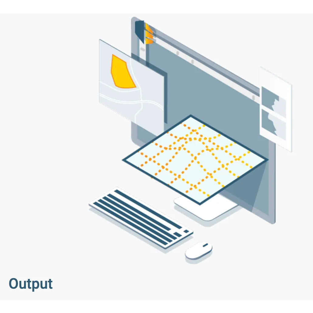
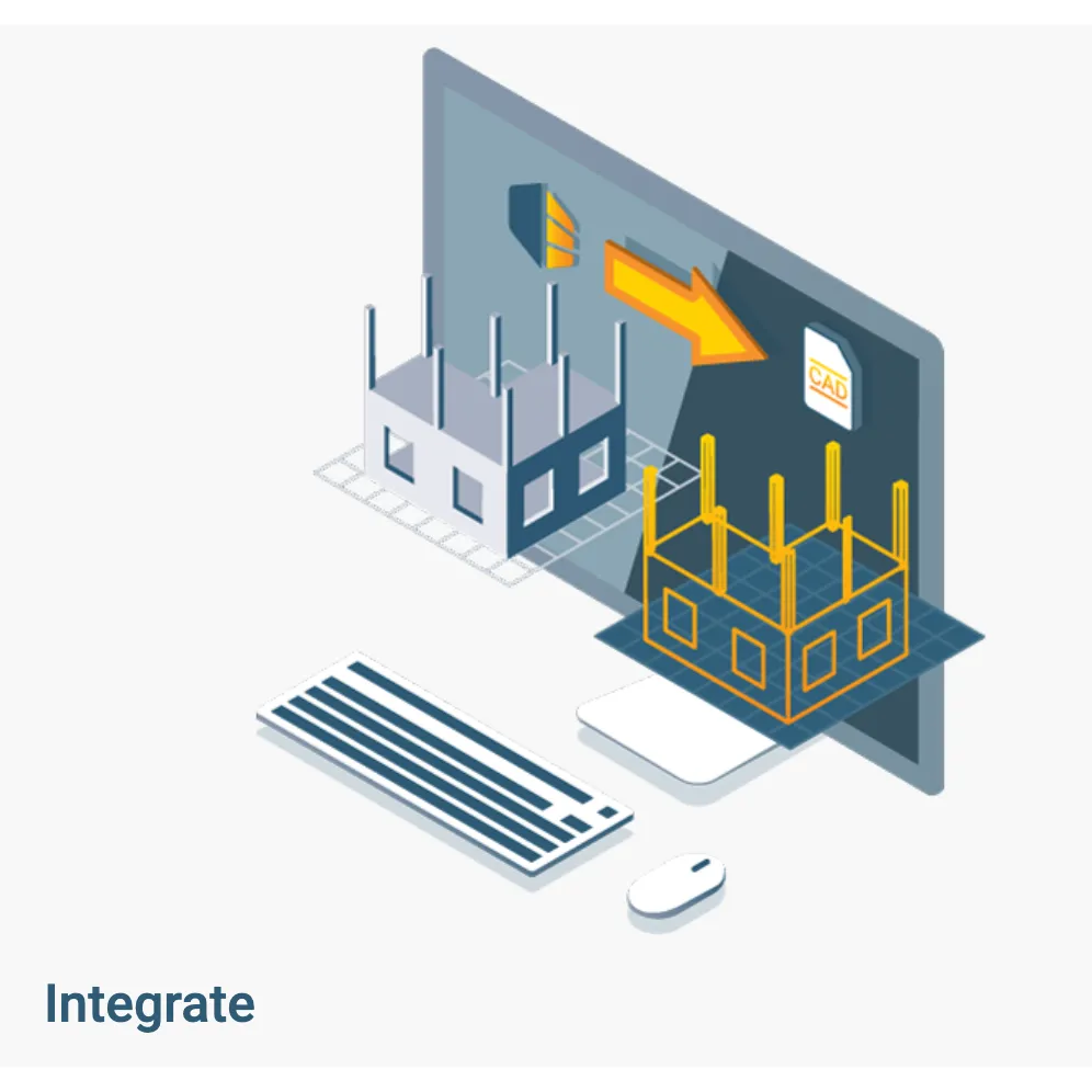
The software offers desktop and cloud processing solutions that can be exported to third-party BIM or CAD software.
INPUTS
| Aerial (nadir & oblique) and terrestrial imagery | Cloud | Process images taken from any angle from aerial or terrestrial, manned or unmanned platform | |||
| Video (mp4 or avi format) | Automatically extracts still frames from videos files to create a project | ||||
| Any camera (compact, SLR, thermal, multispectral, GoPro, 360°, Tetracam, large-frame, etc.) images in .jpg or .tiff | Cloud | Use images acquired by any camera, from small to large frames, from consumer-grade to highly specialized cameras | |||
| Multi-camera support for the same project | Cloud | Create a project using images from different cameras and process them together | |||
| Camera rig support | Process images using known rig relatives from multiple synchronized cameras | ||||
| Ground control point edit and import | Import and edit ground control points to improve the absolute accuracy of your project | ||||
| Known or custom reference coordinate system support in imperial or metric units | Select EPSG code from known coordinate systems or define your own local system | ||||
| Camera exterior orientation support | Cloud | Optimize camera exterior orientation parameters starting from GPS and IMU input parameters | |||
| External point cloud import | Import a point cloud from different sources, such as LiDAR, to generate DSMs & orthomosaics | ||||
PROCESSING
| Processing templates | Automate processing and generation of outputs by using standard or customized templates | ||||
| Rapid Check with Quality Report | Rapid processing template for a quick dataset-check while still on site | ||||
| Camera self-calibration | Cloud | Optimize internal camera parameters, such as focal length, principal point of autocollimation and lens distortions | |||
| Rolling shutter effect correction | Correct the warp of images taken with rolling shutter cameras (like GoPro, DJI Phantoms, etc.) to maintain accuracy even when flying fast and low | ||||
| Automatic Aerial Triangulation (AAT) and Bundle Block Adjustment (BBA) | Cloud | Process automatically with or without known camera exterior orientations: (x, y, z, w, f, k) | |||
| Automatic point cloud densification | Cloud | Produce a dense and detailed 3D point cloud, which can be used as a basis for DSM and 3D mesh | |||
| Automatic point cloud filtering & smoothing | Cloud | Use presets for point cloud filtering and smoothing options | |||
| Machine-learning point cloud classification | Automatically classify the RGB dense point cloud into five groups: ground road surfaces, high vegetation, buildings and human-made objects | ||||
| Automatic DTM/DEM extraction | Remove above-ground objects from DSM and create a bare-Earth model | ||||
| Automatic brightness and color correction | Cloud | Compensate automatically for change of brightness, luminosity and color balancing of images | |||
| Automatic outlier detection | Detect and visualize incorrectly-clicked MTPs (Manual Tie Points)/GCPs (Ground Control Points) | ||||
| Quality Report | Cloud | Assess the accuracy and quality of projects | |||
| Project merging and splitting | Combine multiple projects into one or splite large projects into several for more efficient processing | ||||
| Project area definition | Import (.shp) or draw specific areas to faster generate results inside specific boundaries | ||||
| Custom number of keypoints | Set the number of keypoints to filter noise or speed up processing | ||||
| Multiprocessor CPU GPU support | Increase the processing speed by leveraging the power of CPU cores and threads, as well as GPUs | ||||
| Radiometric processing and calibration | Calibrate and correct the image image reflectance, taking the illumination and sensor influence into consideration | ||||
RAYCLOUD EDITOR
| Project visualization | Assess quality of optimized camera positions, 3D point cloud and mesh | ||||
| Navigation modes | View 3D point cloud and mesh in standart, trackball or first person viewing modes | ||||
| Scale Constraint | Accurately scale projects with no or imprecise geolocation by defining one/multiple distances | ||||
| Orientation Constraint | Orientate objects with no or imprecise geolocation by defining directions of one/multiple axes | ||||
| Ground control point (GCP ) / Manual tie point (MTP) editing | Annotate and edit 2D and 3D GCPs, check points, and MTPs with the highest accuracy, using both original images and 3D information at the same time | ||||
| Ellipsoid error visualization | Visually assess the size of the error of the computed position of a GCP or MTP | ||||
| Project reoptimization | Reoptimize camera positions and/or rematch images based on GCPs & MTPs to improve reconstruction | ||||
| Image masking | Carve: Remove points from 3D point cloud and create filters based on image content | ||||
| Mask: Clear the unwanted background in orthoplane results. | |||||
| Global Mask: Disregard objects that appear in all images, such as a drone leg or a tripod | |||||
| Point cloud editing | Select, classify or delete points from the point cloud using various selection tools | ||||
| Orthoplane creation | Define a plane to generate a DSM and orthomosaic from building facades, bridge piles, etc | ||||
| Polyline and surface object creation | Annotate and measure polylines and surfaces in the point cloud. | ||||
| Accurately refine vertexes in multiple original images | |||||
| 3D mesh and DSM editing | Annotate & create surfaces in the point cloud to flatten an area or fill up holes in the mesh and DSM | ||||
| Fly-through animation | Create a virtual camera trajectory, play the animation in real-time and export it | ||||
VOLUME MANAGER
| Volume object creation | Annotate and measure volumes based on the DSM | ||||
| Volume object management | Import and export selected volume bases in .shp files to enable easy monitoring of stockpiles on site | ||||
| Base adjustment | Adjust the reference base to fit different terrain and obtain accurate measurement | ||||
MOSAIC EDITOR
| Region editing | Create and edit regions on the orthomosaic, choose the best content from multiple underlying images and projection type to remove moving objects or artifacts | ||||
| Local blending | Edit only the desired portion of the orthomosaic, blend it in real-time and get the improved orthomosaic within minutes | ||||
| Planar or ortho projection selection | Select planar or ortho projection for each created region to remove artifacts | ||||
INDEX CALCULATOR
| Radiometric adjustment interface | Make the vegetation indices more reliable and accurate by applying radiometric corrections | ||||
| Reflectance map | Generate an accurate Reflectance map and the preferred resolution as a basis of index maps | ||||
| Multiple region management | Improve your analysis by managing and visualizing index values per region | ||||
| Automatic NDVI map | Generate singleband and NDVI maps based on pre-defined formulas without user intervention | ||||
| Index formula editing | Create and save your own formulas choosing among each input band and generate custom index maps | ||||
| Class management | Create a basis of your annotated vector map by segmenting the data into classes using statistical algorithms | ||||
| Prescription annotation | Match on-site scouts and observations by assigning annotations based on your decisions | ||||
| Prescription map export | Put your data into action and export the prescription map in .shp format | ||||
OUTPUT RESULTS
| 2D output results: | Cloud | Nadir orthomosaics in GeoTIFF output format | |||
| Orthomosaics from user-defined orthoplane in GeoTIFF output format | |||||
| Google tiles export in .kml and .html output formats | |||||
| Index maps (Thermal, DVI, NDVI, SAVI, etc.) in GeoTIFF and GeoJPG format | |||||
| Prescription maps in .shp format | |||||
| 2.5D output results: | Cloud | • Nadir DSMs and DTMs in GeoTIFF format | |||
| • DSMs from user-defined orthoplane in GeoTIFF output format | |||||
| 3D output results: | • 3D PDF for easy sharing of 3D mesh • Full 3D textured mesh in .obj, .ply, .dxf, and .fbx format • Tiled Level-of-detail (LoD) mesh in osgb and slpk (Esri) format • Point cloud in .las, .laz, .xyz and .ply output format• Contour lines in .shp, .dxf, .pdf format • Classified point cloud in .las and .csv format • Contour lines in .shp, .dxf, .pdf format • User-defined vector objects in .dxf, .shp, .dgn, and kml format" | ||||
| Cloud | "• Full 3D textured mesh in .obj and .fbx format • Point cloud in .las output format • Georeferenced annotations in .csv, GEOjson, and .shp format" | ||||
| Fly-through animation and flight paths | Export the animation in .mp4 and. avi formats and the fly-through waypoints and path in .csv format | ||||
| Optimized camera position, external orientation and internal parameters, Undistorted images | Export Aerial Triangulation results into traditional photogrammetry software solutions (e.g. INPHO, Leica LPS, DAT/EM Summit Evolution) | ||||
PIX4D CLOUD PLATFORM
| Visualization Measurement Inspection Documentation Collaboration | Cloud | View 2D maps and 3D models using any web browser - mesh and point cloud visualization options | |||
| Cloud | Visualize current and previous days data on an intuitive timeline | ||||
| Cloud | Measure distances and areas on 2D maps and 3D models | ||||
| Cloud | Calculate volumes | ||||
| Cloud | Annotate 2D maps and 3D models with polygons and location markers | ||||
| Cloud | Upload and overlay drawings, design plans and maps to compare as-built vs. as-design | ||||
| Cloud | Compare day-to-day layers with the 2D Comparison tool | ||||
| Cloud | Generate cross-sections with the elevation profile tool | ||||
| Cloud | |||||
| Cloud | Real-time shading for digital surface model (DSM) visualization | ||||
| Cloud | Inspect and annotate using both original images and 3D information at the same time | ||||
| Cloud | Export annotations in .cvs, GeoJSON and Shapefile | ||||
| Cloud | Download and import data into CAD/BIM software | ||||
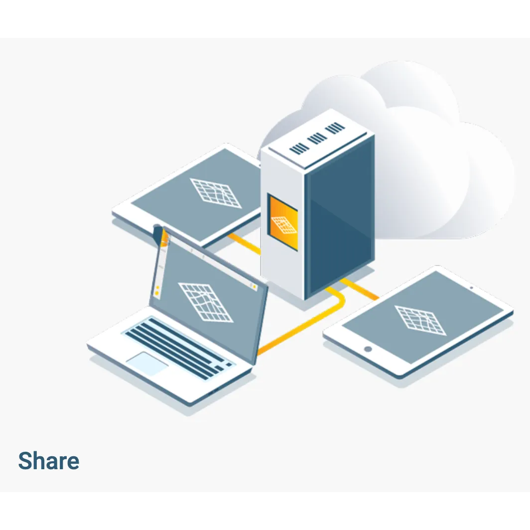
| Cloud | Share projects via a simple link | ||||
| Cloud | Embed project output in a webpage | ||||


")


